
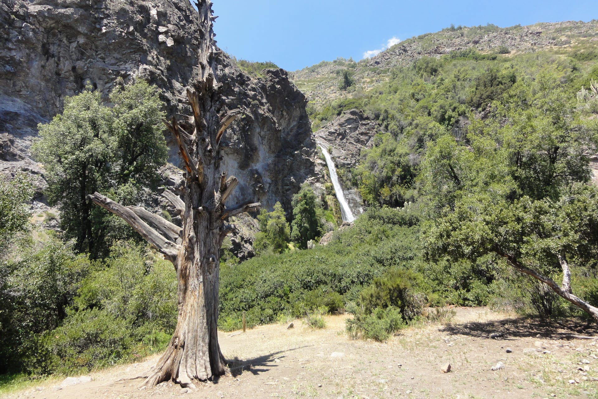
Aguas de Ramón
The ravine that starts where the city ends, with a waterfall at the far end.
- Recommended duration A day
- Without a car Easy without a car
- How to get there Local bus
Real coordinates for every place. The distances shown on the pages are straight-line, not road distances, and the map draws no routes.
Loading the map
Cartography: OpenStreetMap
Duration, effort and season are Chile de Finde estimates to help you plan. They have not been verified on the ground.
The ravine that starts where the city ends, with a waterfall at the far end.
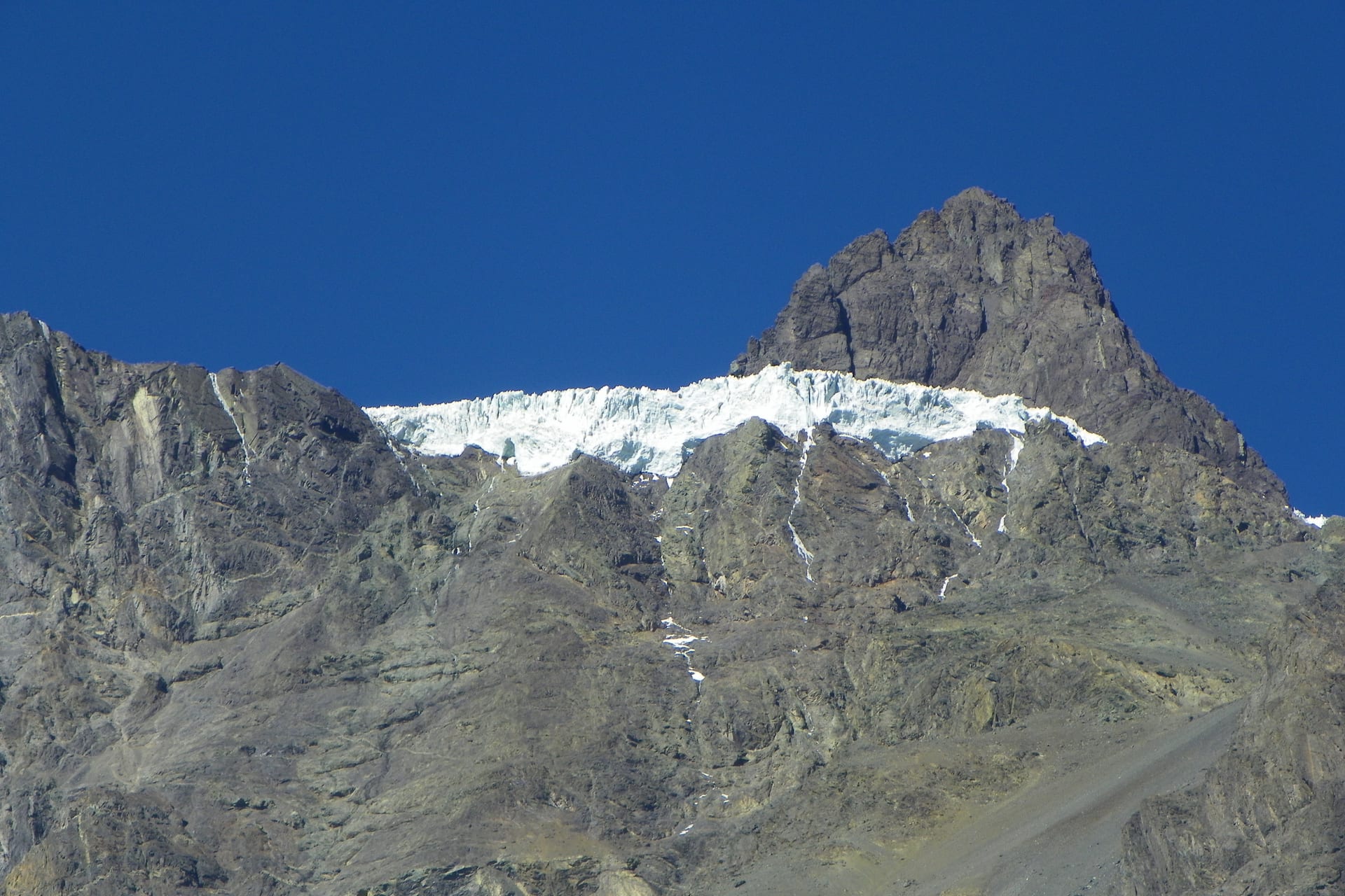
The valley Santiago uses as its mountain backyard: a town with services and, higher up, a long scattered territory.
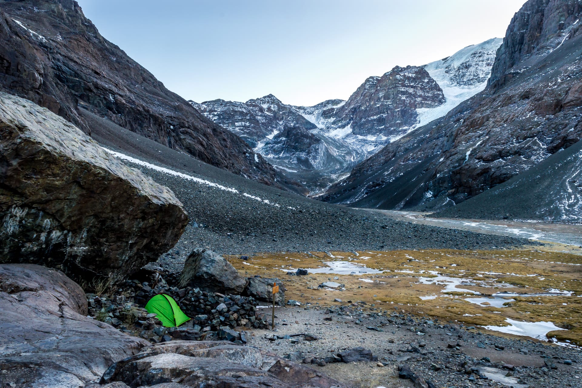
A whole glacial valley an hour from the city. The gate of the Andes.
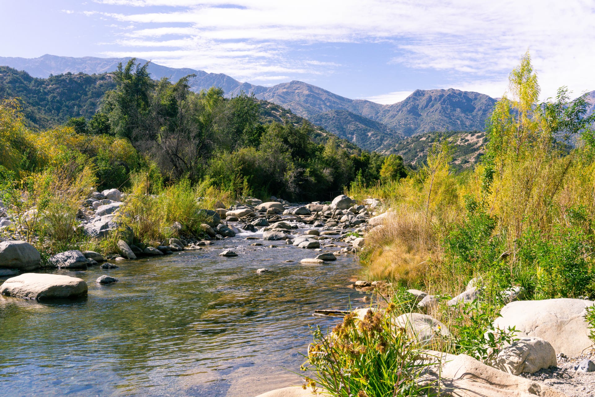
Native forest and clear water in the foothills above Pirque.
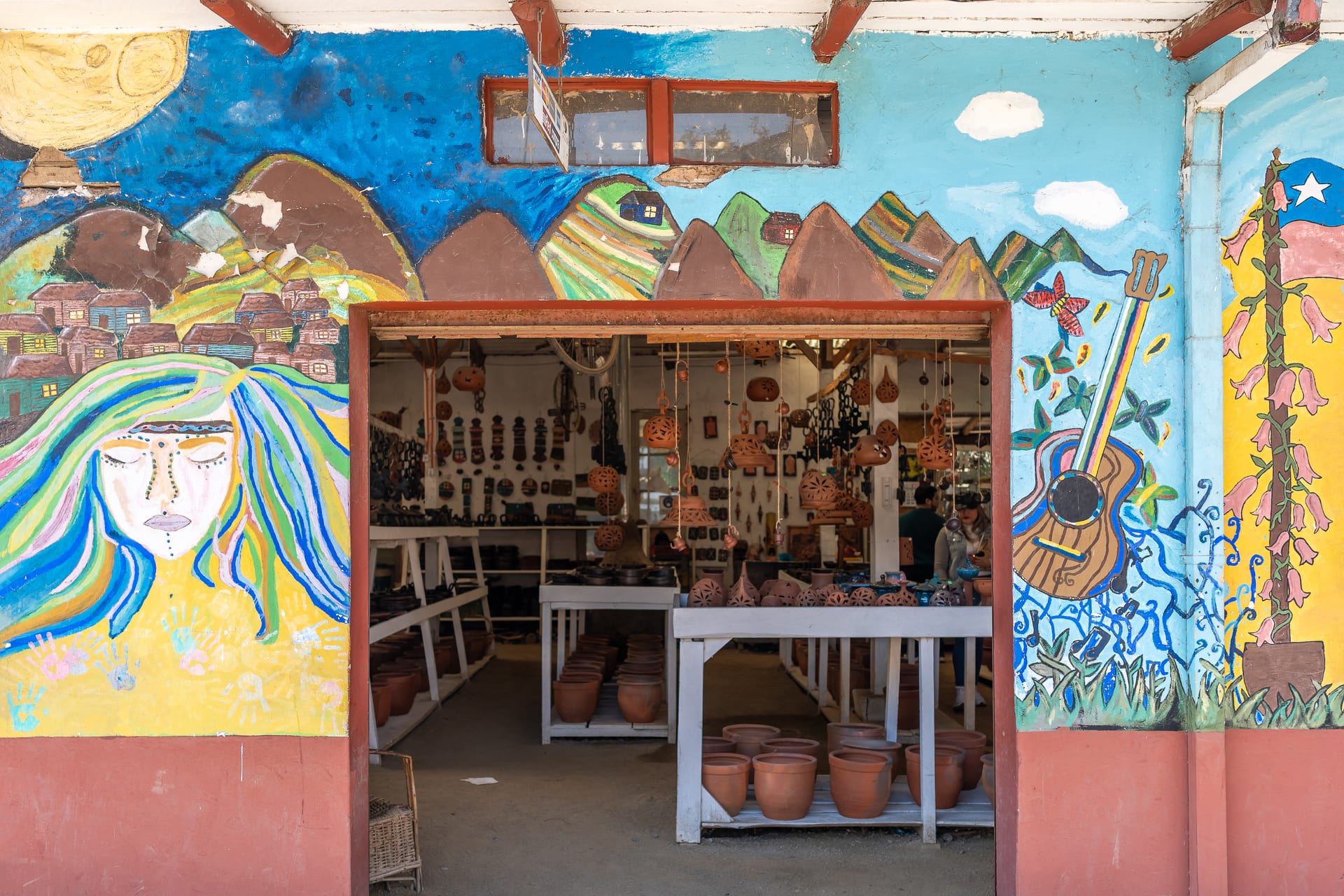
A potters' town where clay is not a souvenir but the trade that organises the streets and the workshops.
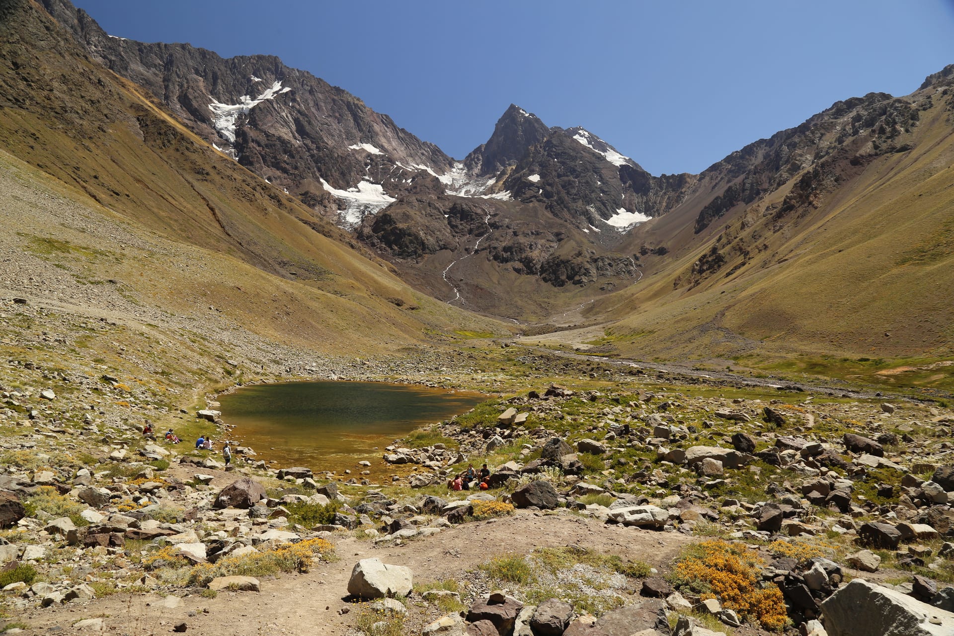
Real high mountain in Cajón del Maipo: a glacier, a lagoon and silence.
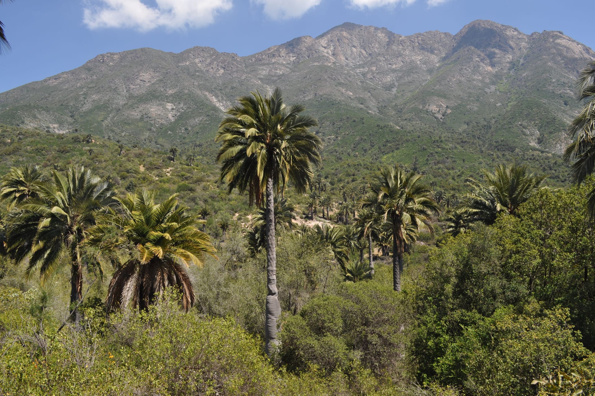
The last great Chilean palm forest, and the summit Darwin climbed.
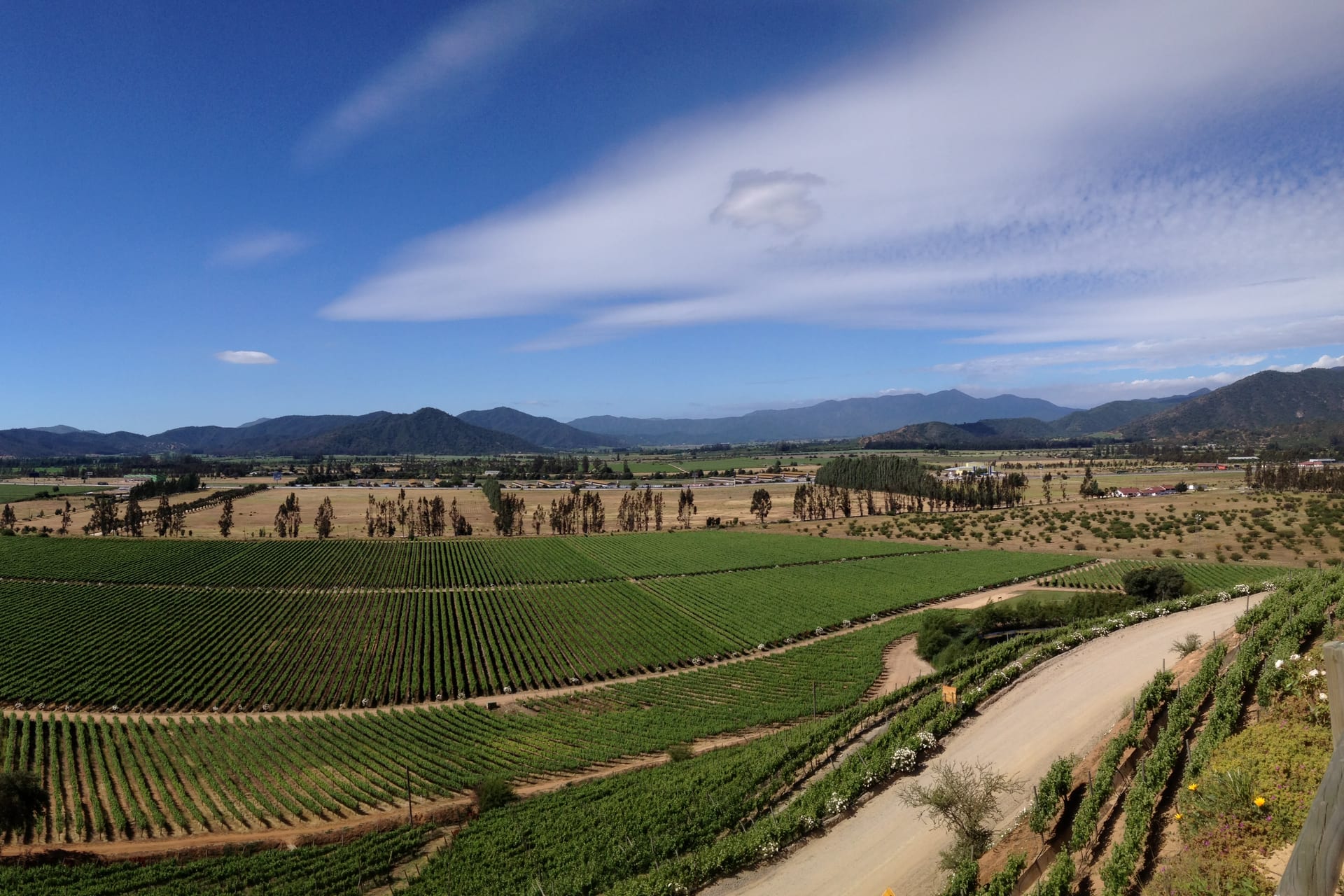
A cool-climate wine valley between Santiago and the coast, with the wineries scattered kilometres from the town.
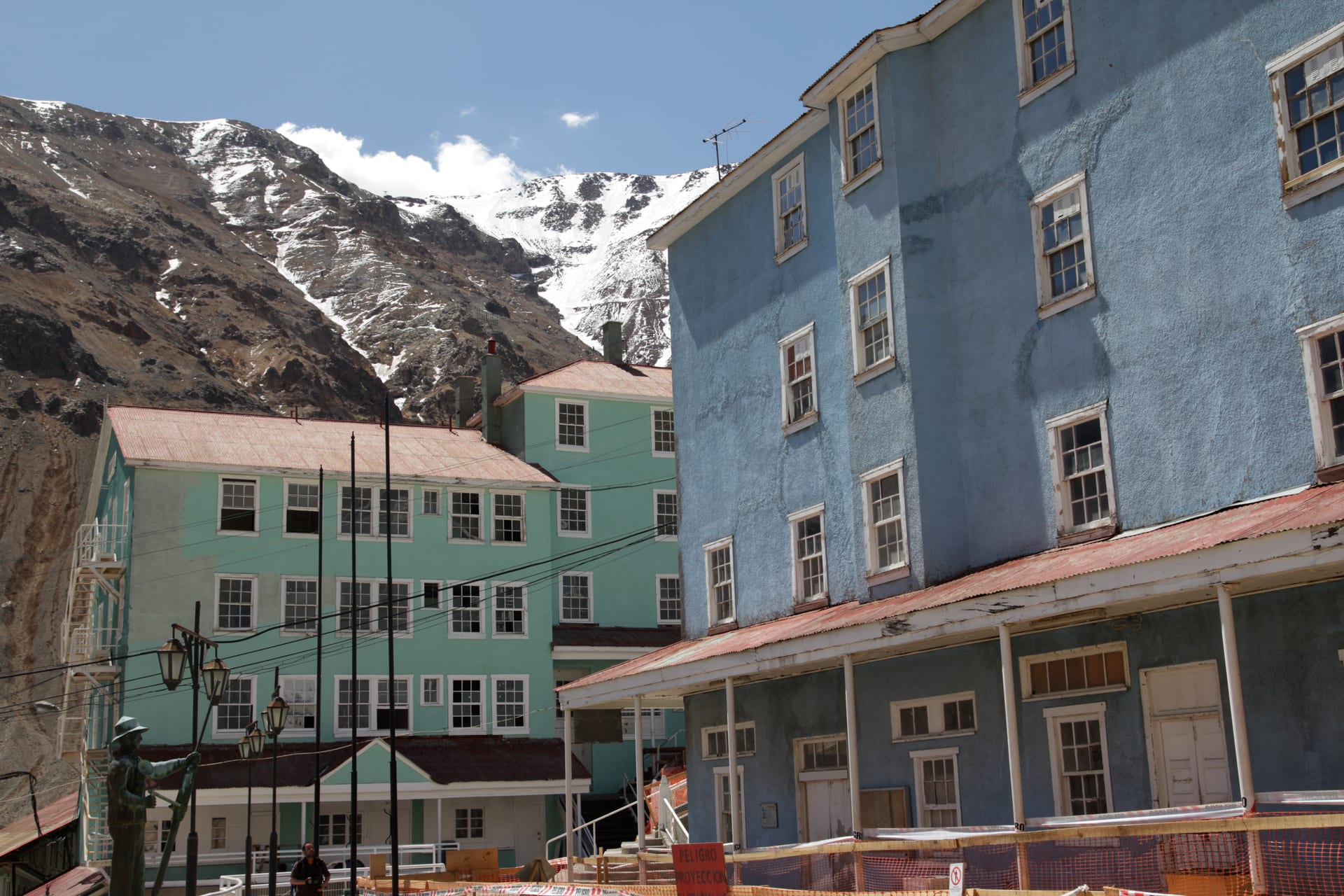
The mining town with no streets for cars, built on stairways up the mountainside, visited only by booking.
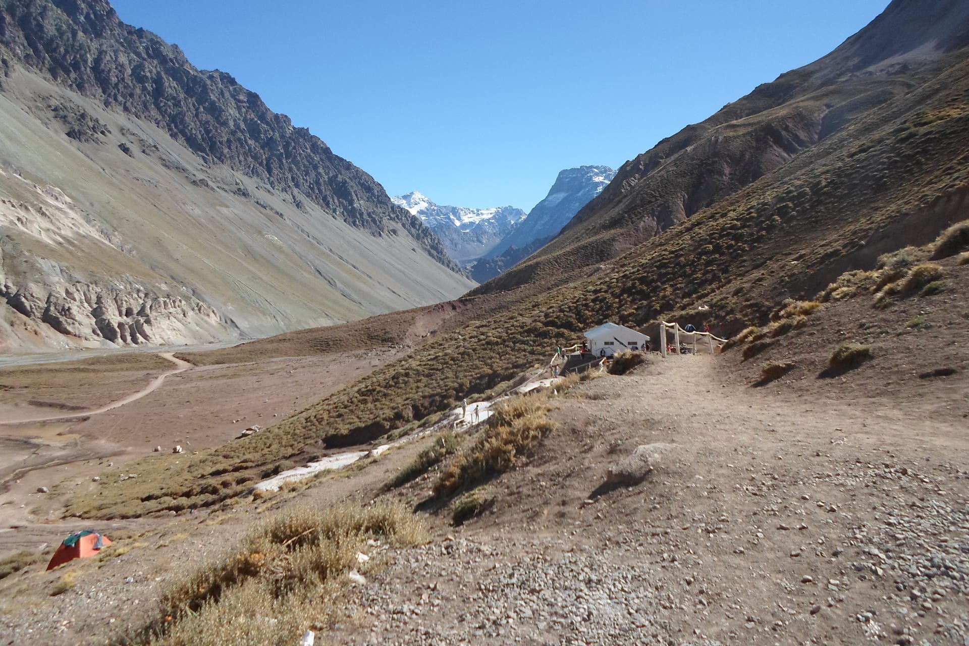
Terraces of hot water high up the Cajón del Maipo.
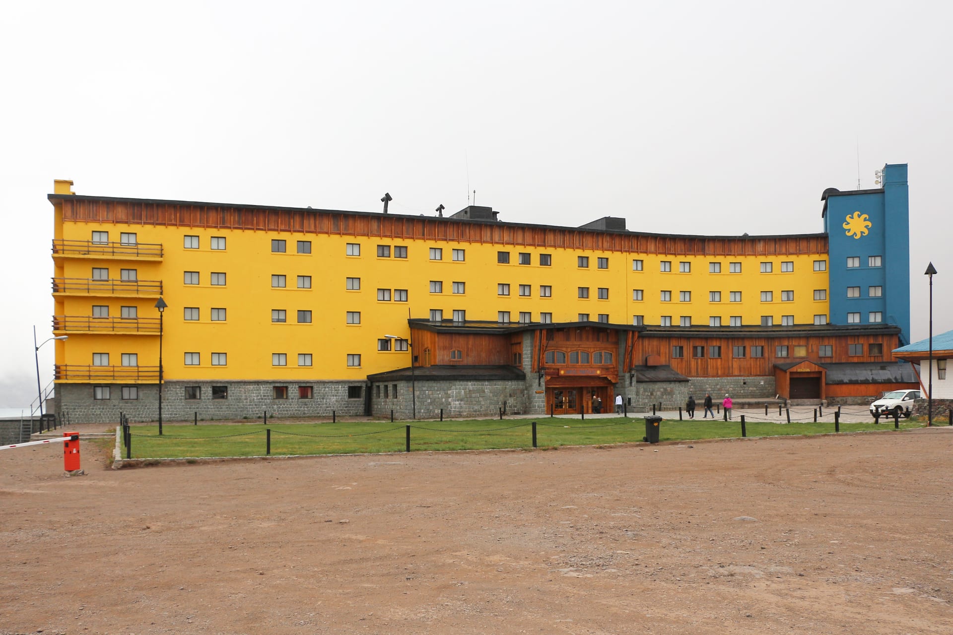
High mountain on the international route to Argentina, with a lagoon wedged between rock walls.
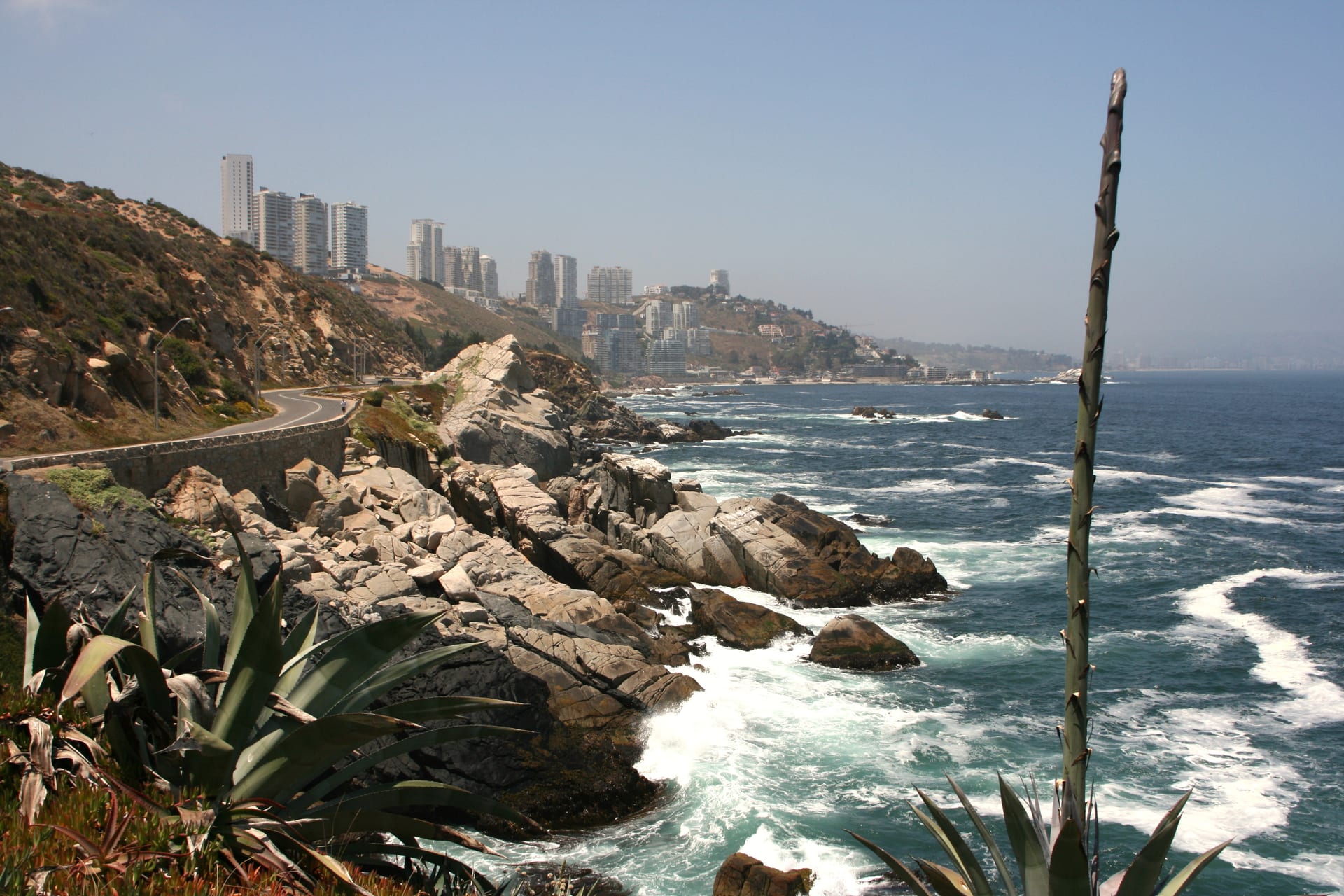
A coastal strip with three distinct characters: seaside city, fashionable beach, and a headland of dunes and coves.
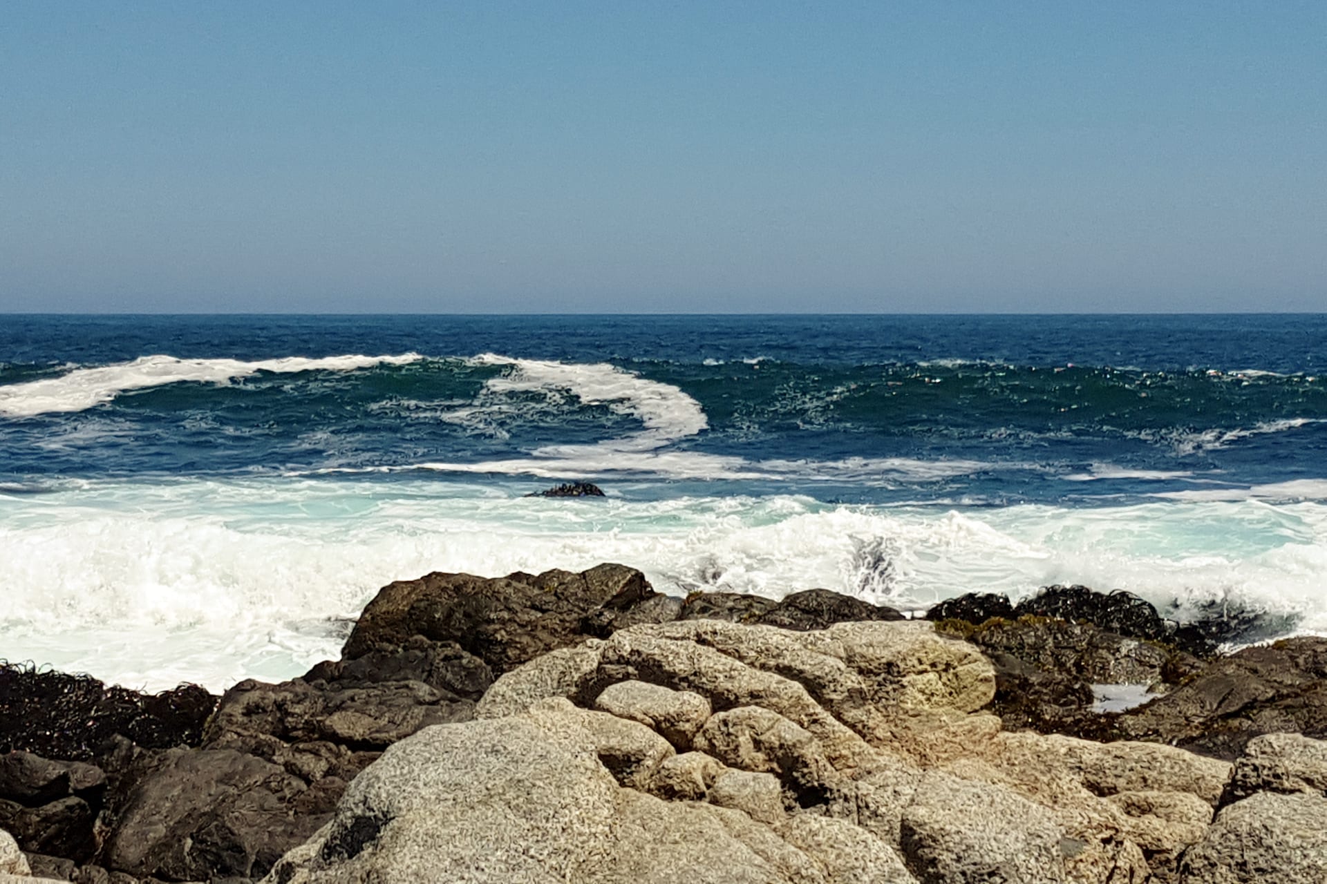
A coast of rocky shores and small seaside towns, with the house Pablo Neruda filled with objects facing the sea.
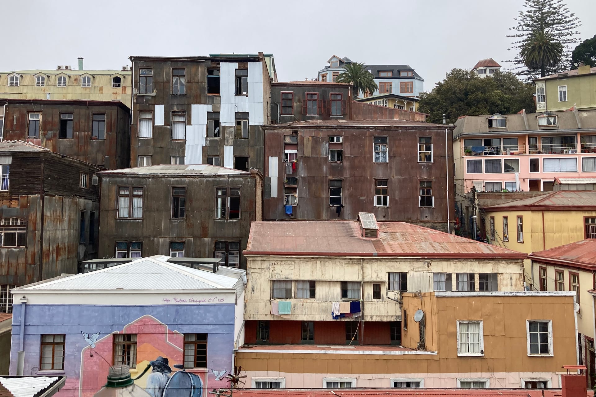
A port city built on hills, where the flat part lasts three streets and everything else climbs.
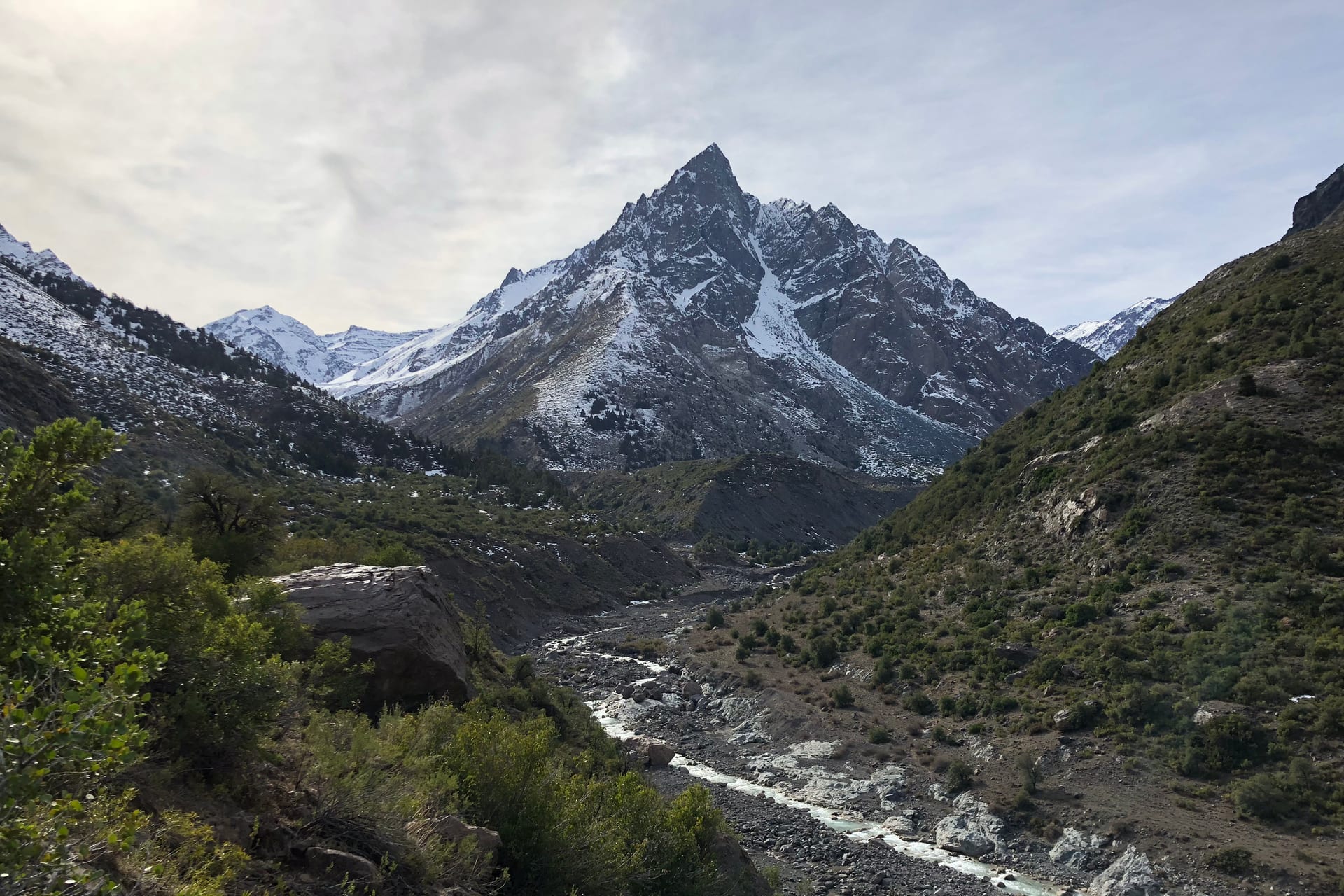
A glacial valley with burrowing parrots screaming overhead.
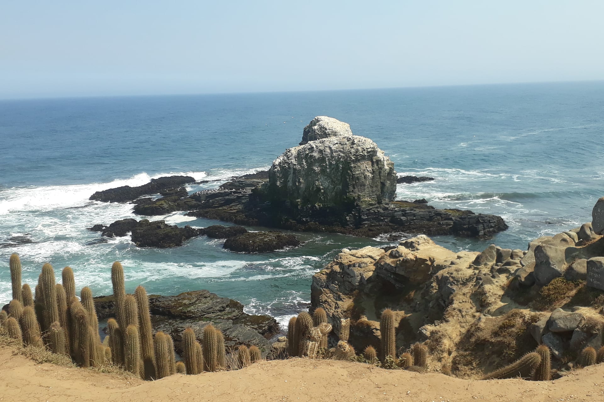
The sea stacks, the Pacific and the best sunset on the route.
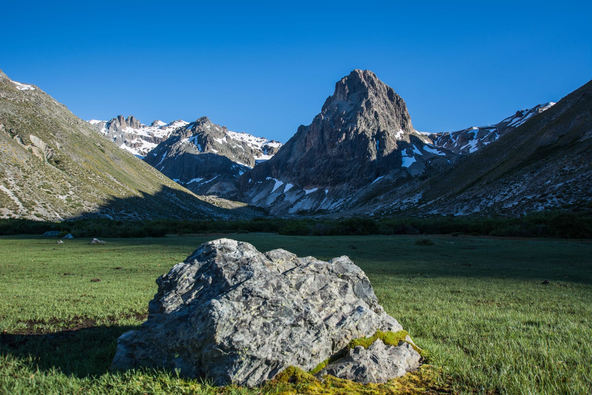
Seven pools carved into basalt by the Claro river, and a valley behind.
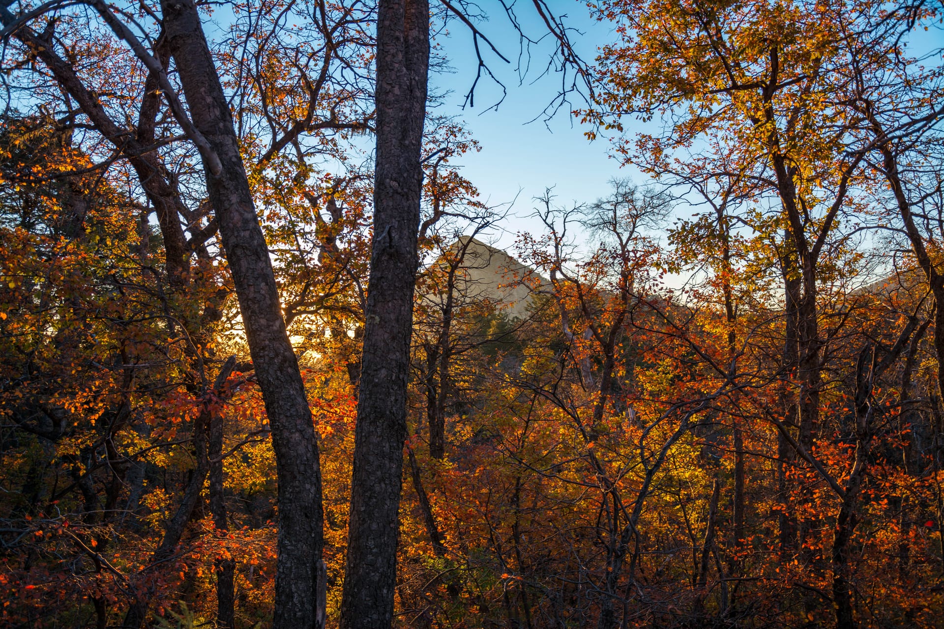
The way to El Enladrillado, the stone plateau suspended above the valley.
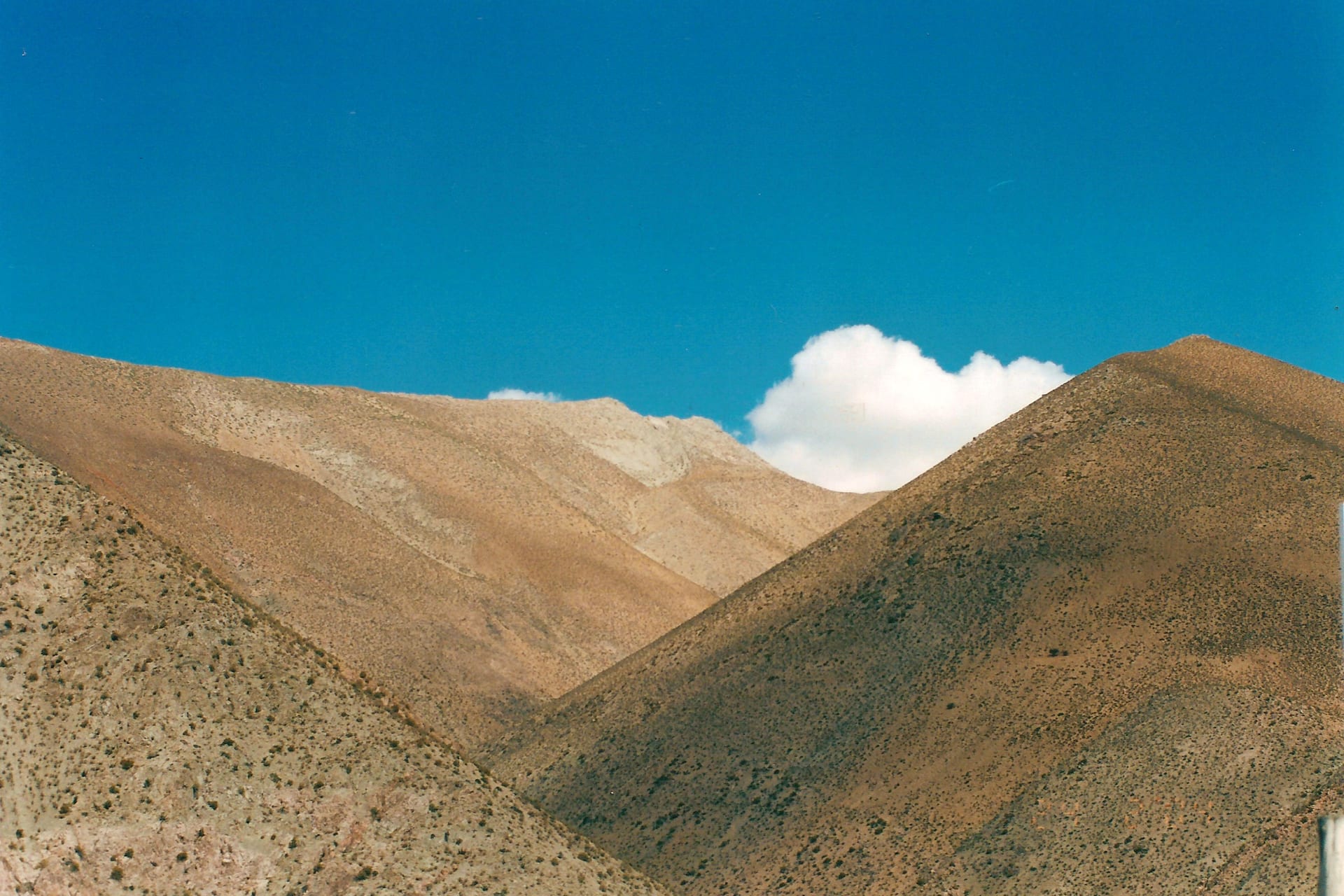
Sky, valley and silence. The furthest point on the route.
No destination matches those filters. Try removing one.
Each one with its transport explained, its map and what it costs to get there.
You found something.
A Humboldt penguin has snuck onto the site. It's off for the weekend too.