
12 km from Santiago · straight line
Aguas de Ramón
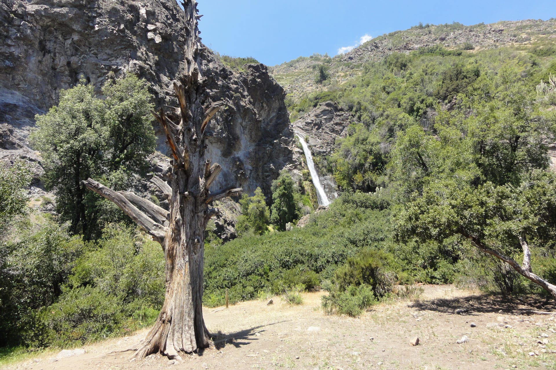
The ravine that starts where the city ends, with a waterfall at the far end.
- Guide published
- A day
- Easy without a car
Photograph: Jason Quinn · CC BY-SA 3.0
Loading the map
Cartography: OpenStreetMap
How to get there
Recommended option
City public transport to the eastern edge of Santiago, then a short walk to the entrance.
Easy without a car
- Departure point
- Santiago, city transport network
- Arrival point
- Park entrance, La Reina
- Final leg
- The last stretch is on foot from the avenue up to the park office.
- Limitations
- The park has entry hours and a return deadline; check them the same day.
Schedules, fares and conditions may change. Check the latest information before travelling.
Reviewed: 2026-08-04 · Chile de Finde estimate
Why it's worth the trip
Because it proves the whole premise in a single morning: you don't need a long trip to change landscape. It's the place to find out whether you enjoy walking with a group before committing to anything further away.
Landscape
This is the first step of the Andes and the easiest one to climb: you can reach it by public transport from eastern Santiago, and twenty minutes into the walk the city has already gone quiet. The Ramón ravine climbs through sclerophyll forest — quillay, litre, peumo — following the stream up to the Apoquindo waterfall, which appears all at once at the head of the valley.
- Forest
- Water
- Mountain
What the trip could look like
A half-day outing for a small group: an uphill walk at conversation pace, a long stop at the waterfall and coffee in the neighbourhood on the way down.
An idea of how the day would go.
Who this destination is for
A good fit if
- People new to Santiago
- A first outing with people you don't know yet
- Anyone without a car
Maybe not if
- Anyone after high mountain terrain
- Anyone expecting solitude on a weekend
Worth knowing
- The waterfall's flow varies a lot with the season.
- The park has regulated access and opening hours: check them before going.
Sources
Other destinations
Cajón del Maipo and San José de Maipo
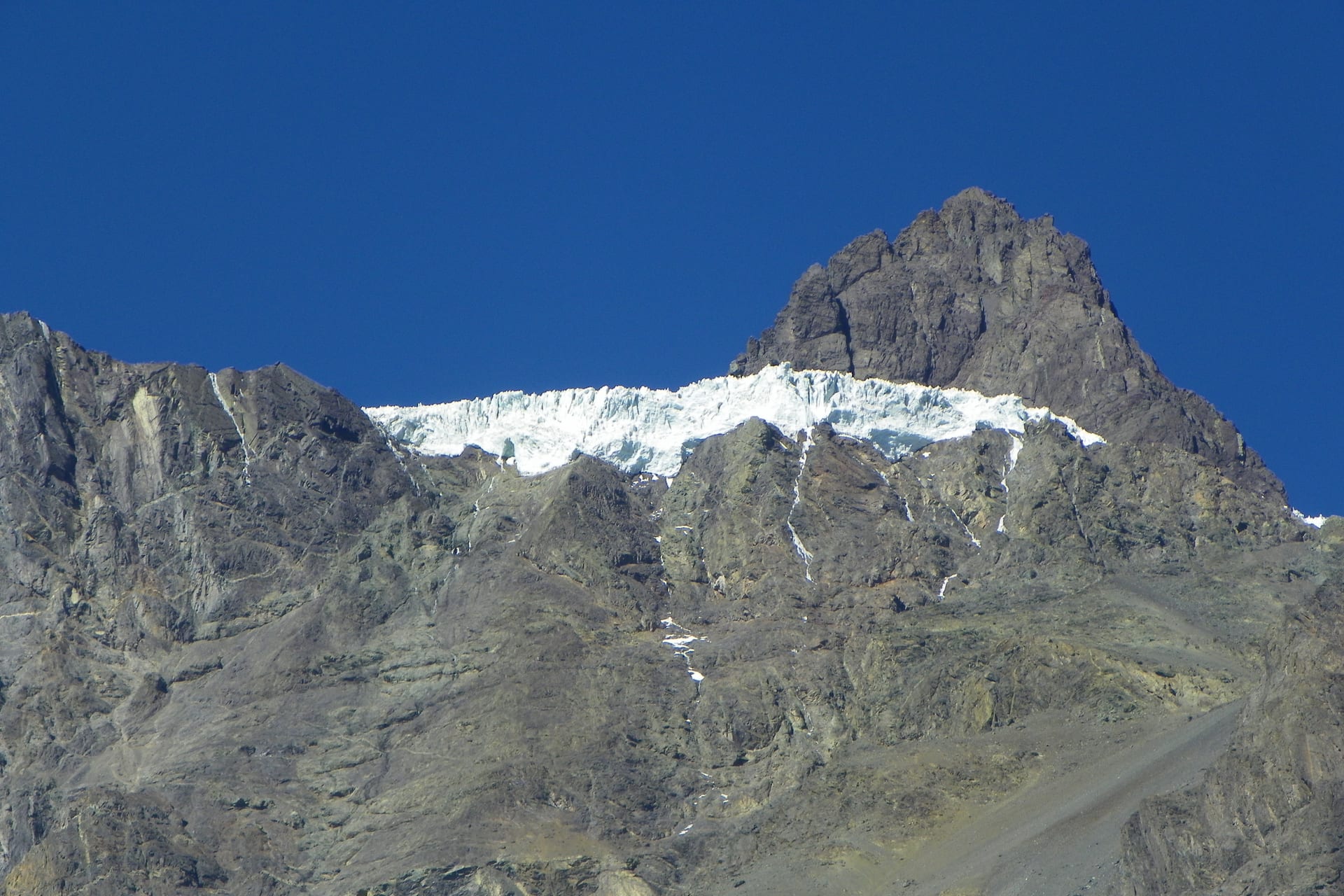
The valley Santiago uses as its mountain backyard: a town with services and, higher up, a long scattered territory.
- Recommended duration A day
- Without a car Possible with connections
- How to get there Local bus
Yerba Loca
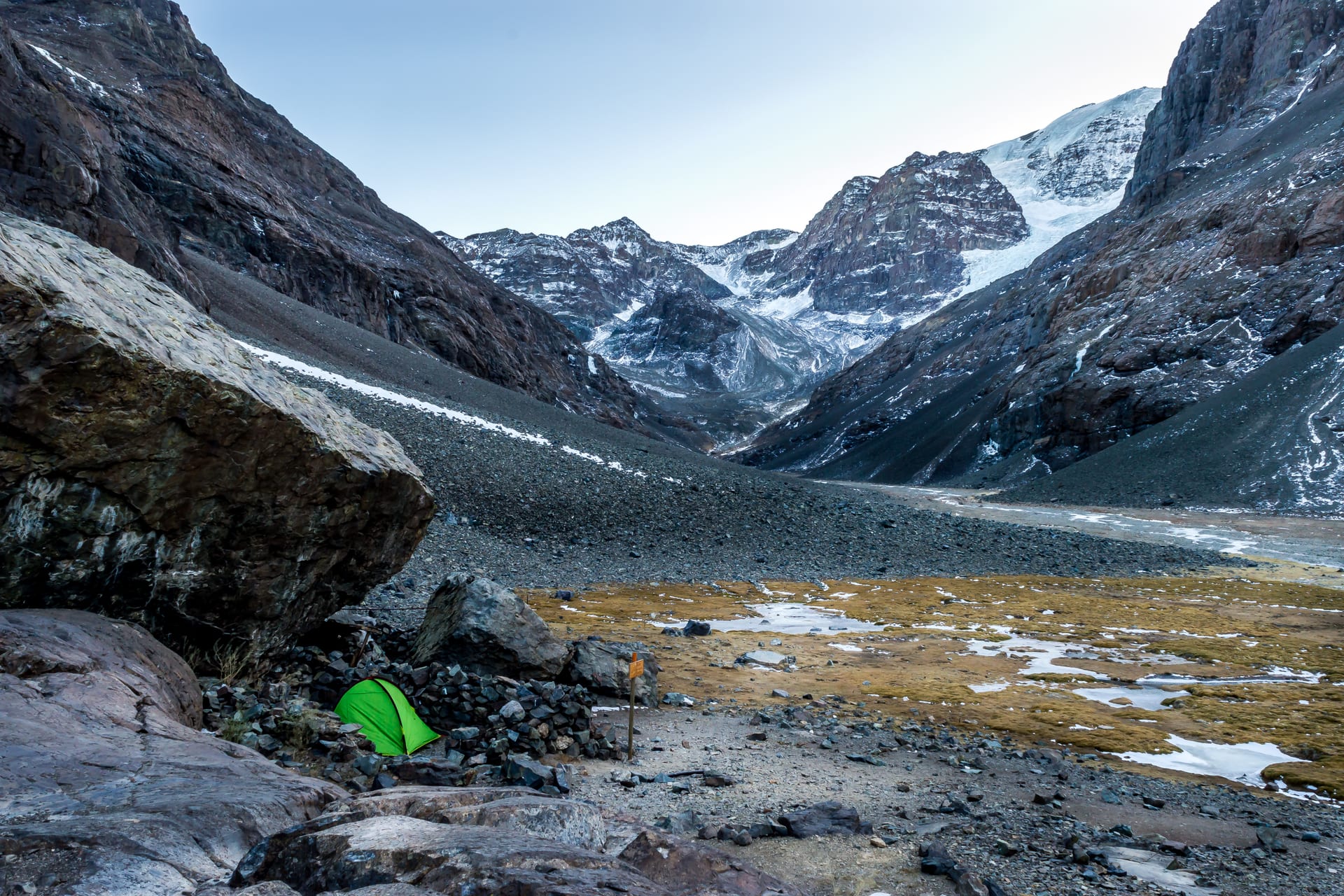
A whole glacial valley an hour from the city. The gate of the Andes.
- Recommended duration A day
- Without a car Car or transfer recommended
- How to get there Car
Río Clarillo
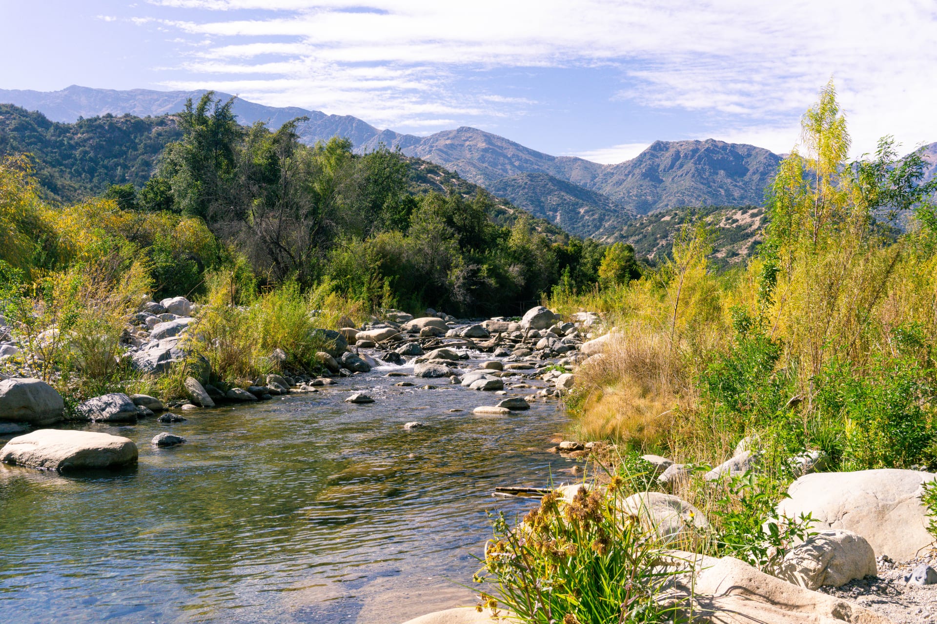
Native forest and clear water in the foothills above Pirque.
- Recommended duration A day
- Without a car Possible with connections
- How to get there Car