
41 km from Santiago · straight line
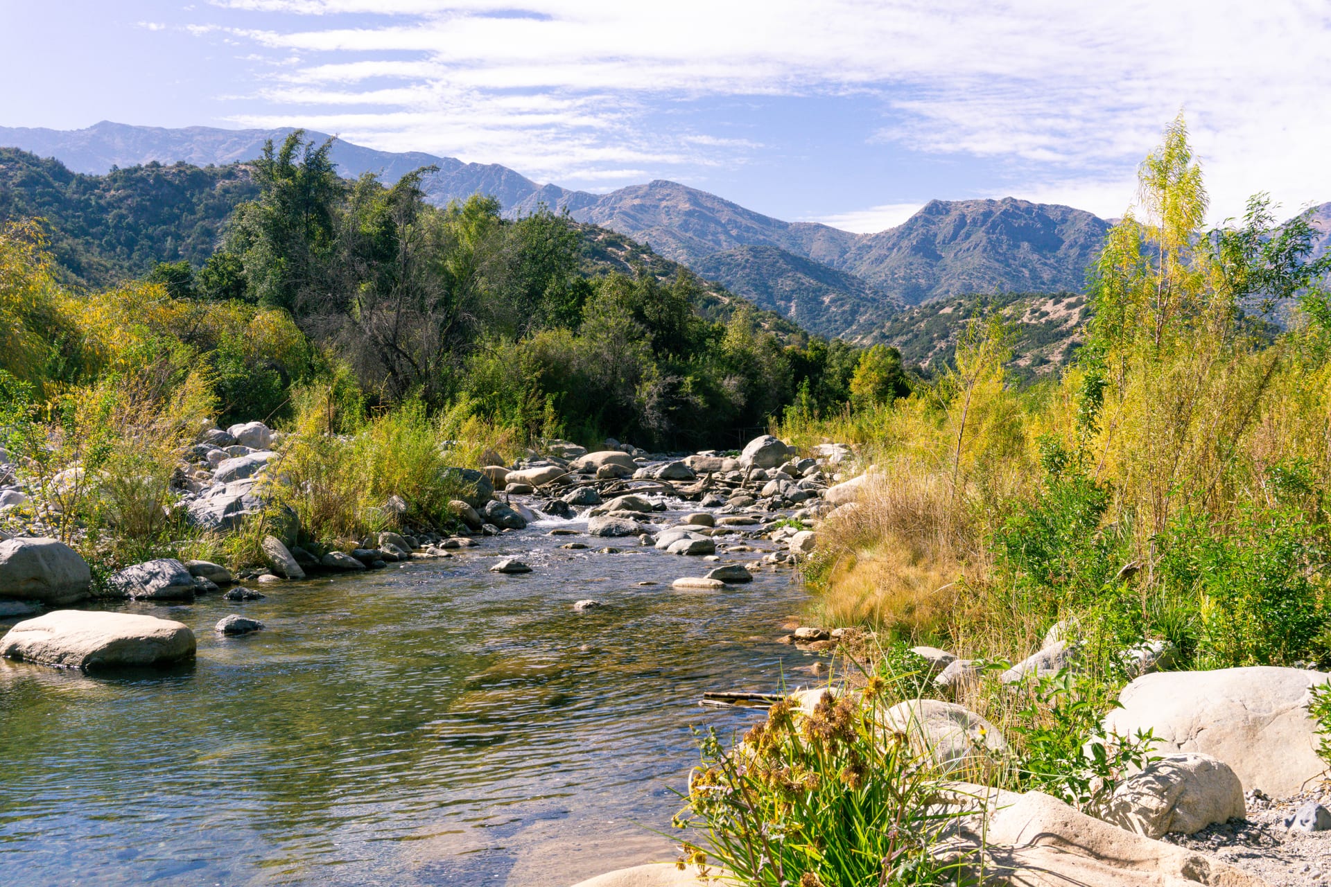
Río Clarillo
Native forest and clear water in the foothills above Pirque.
- Guide published
- A day
- Possible with connections
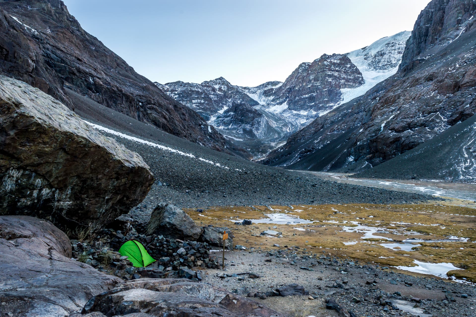
Photograph: Gabriel.nolopez · CC BY-SA 4.0
Loading the map
Cartography: OpenStreetMap
How to get there
Recommended option
Car via Pirque, or a bus to Pirque plus local transport for the last stretch.
Possible with connections
- Departure point
- Santiago, southeast through Puente Alto and Pirque
- Arrival point
- National park gate
- Final leg
- The stretch from Pirque to the gate is not covered by regular public transport.
- Booking
- Access may require booking in advance and has limited capacity.
- Limitations
- Weekend demand is high in summer and capacity runs out.
Schedules, fares and conditions may change. Check the latest information before travelling.
Reviewed: 2026-08-04 · Official source
Why it's worth the trip
Because it's the slow one on the route. There is no summit to conquer: you go to walk among trees, put your feet in the water and talk.
Landscape
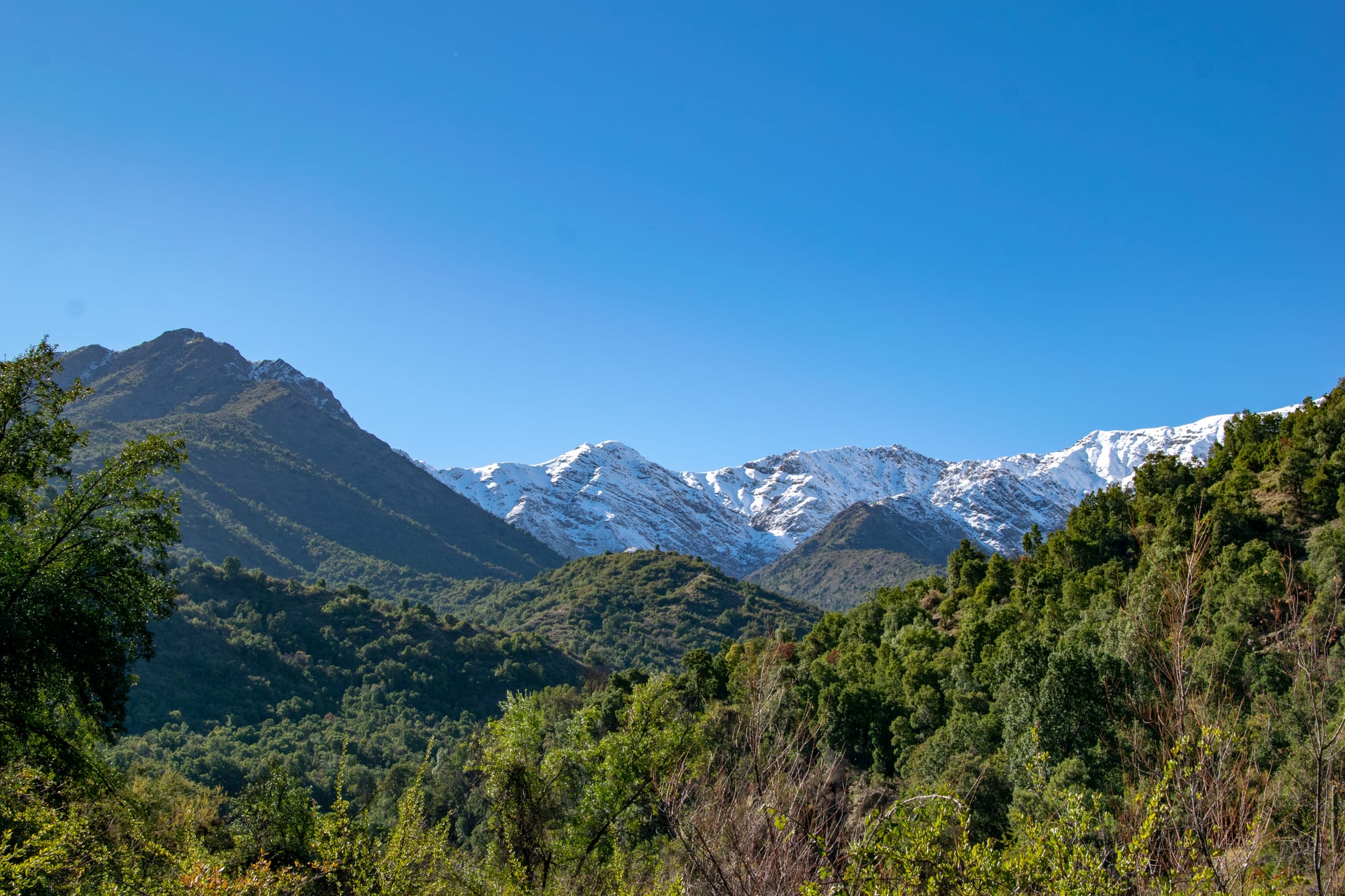
It went from reserve to national park in 2021, and the care shows in the forest: it is one of the best places near Santiago to see Chilean sclerophyll woodland working as a system rather than as a fragment. The river runs clear over stones and the trail follows it for much of the way.
- Forest
- Water
What the trip could look like
A Saturday with no agenda: an easy walk, a long picnic by the river and an early return.
An idea of how the day would go.
Who this destination is for
A good fit if
- Anyone who prefers walking without pressure
- Groups with mixed fitness levels
- Summer in Santiago
Maybe not if
- Anyone looking for climbing and effort
Worth knowing
- A national park managed by CONAF: access, capacity and hours are regulated.
- Weekend demand rises sharply in summer.
Sources
Other destinations
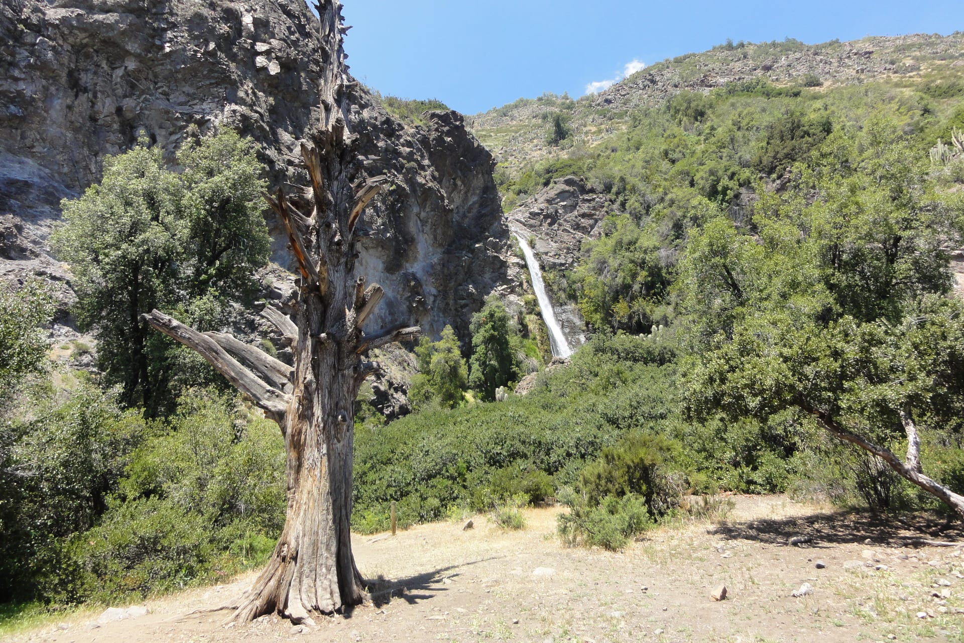
Aguas de Ramón
The ravine that starts where the city ends, with a waterfall at the far end.
- Recommended duration A day
- Without a car Easy without a car
- How to get there Local bus
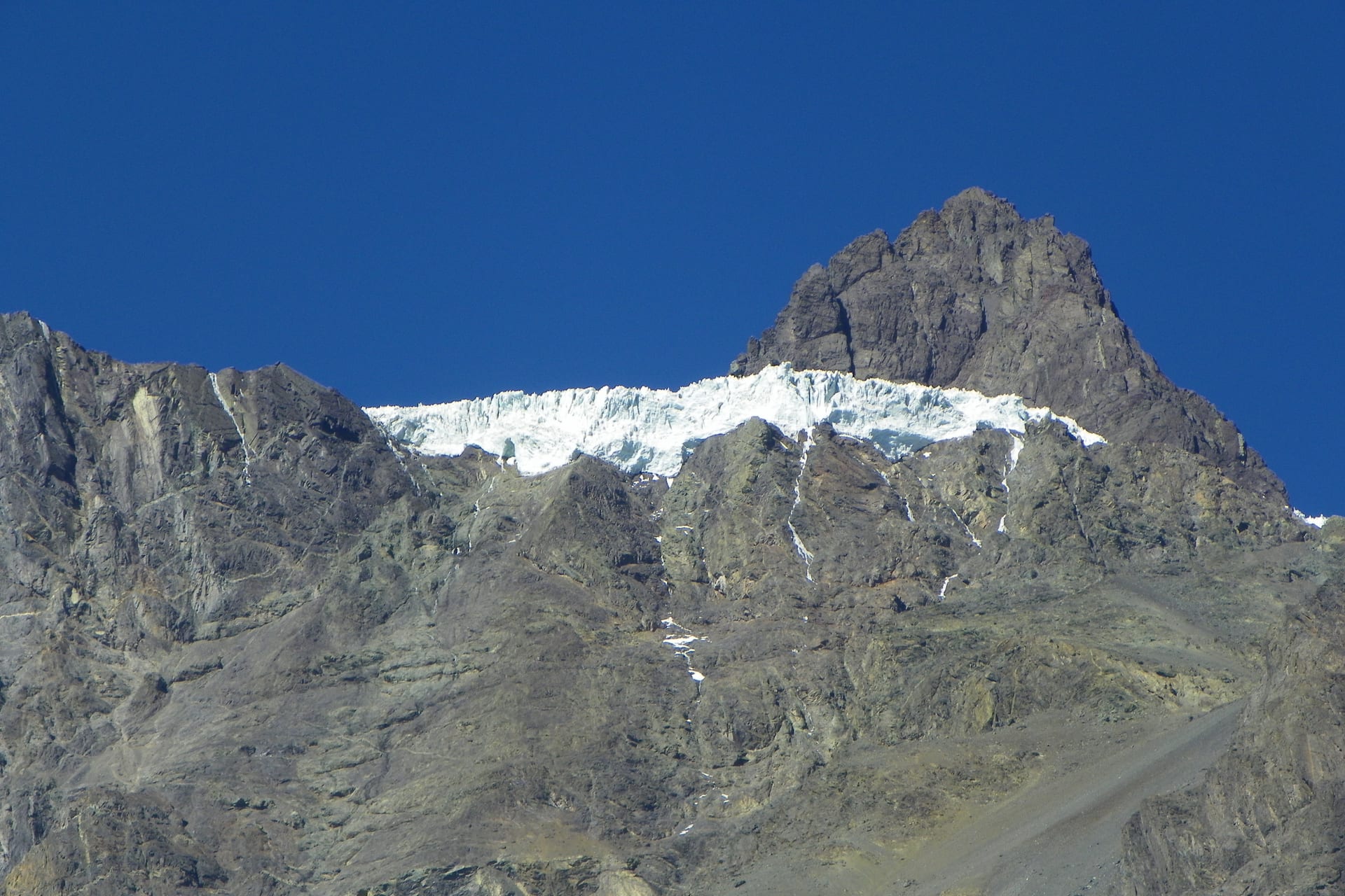
Cajón del Maipo and San José de Maipo
The valley Santiago uses as its mountain backyard: a town with services and, higher up, a long scattered territory.
- Recommended duration A day
- Without a car Possible with connections
- How to get there Local bus
Yerba Loca
A whole glacial valley an hour from the city. The gate of the Andes.
- Recommended duration A day
- Without a car Car or transfer recommended
- How to get there Car