
241 km from Santiago · straight line
Altos de Lircay
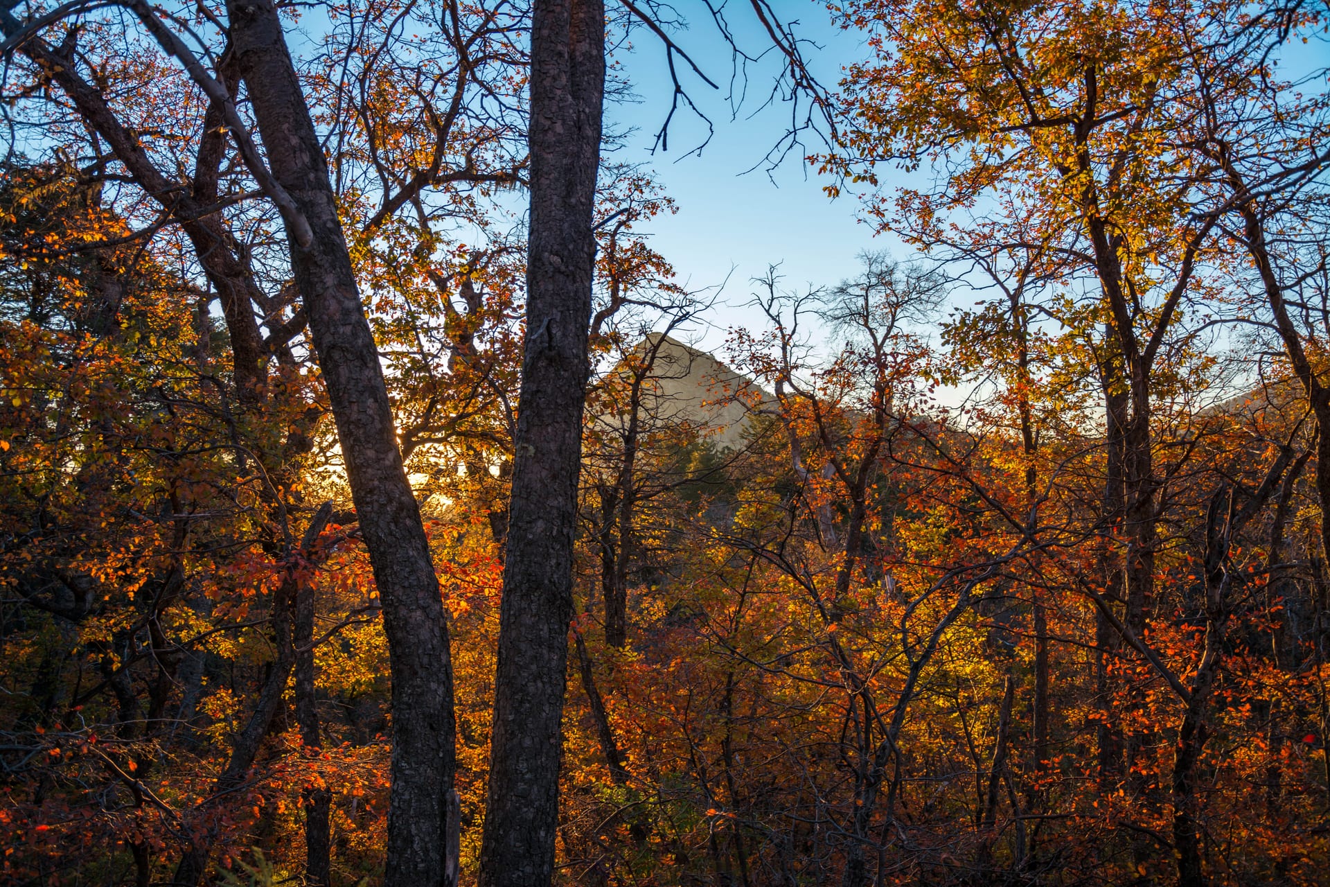
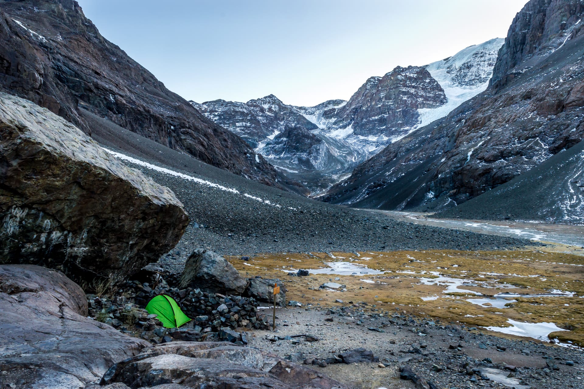
The way to El Enladrillado, the stone plateau suspended above the valley.
- On the list
- Long weekend
- Car or transfer recommended
Photograph: Florencia Gehrung · CC BY-SA 4.0
Loading the map
Cartography: OpenStreetMap
How to get there
Recommended option
Bus or car to Talca, then on towards Vilches Alto, where the gate is.
Car or transfer recommended
- Departure point
- Santiago or Talca
- Arrival point
- Vilches Alto, reserve gate
- Final leg
- The Talca–Vilches leg is the part to plan around published times.
- Booking
- Entry registration is compulsory and the Enladrillado climb has a cut-off time.
- Limitations
- The climb is long and exposed: an early start is necessary.
Schedules, fares and conditions may change. Check the latest information before travelling.
Reviewed: 2026-08-04 · Official source
Why it's worth the trip
Because it's the destination that requires having walked before. You get here after a season, not on your first outing.
Landscape
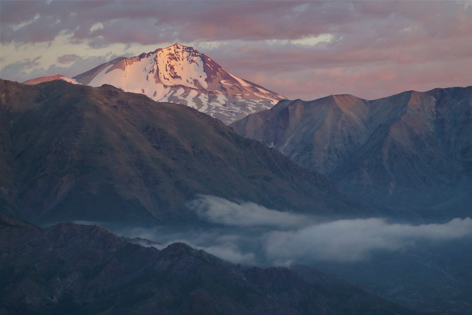
The trail climbs through oak and coigüe forest — spectacular in autumn — until it emerges onto a plateau of flat stone blocks, El Enladrillado, with the Cerro Azul volcano opposite. It is one of the most serious walks on this list and the one that most repays the effort.
- Mountain
- Forest
What the trip could look like
Two nights camping in the reserve and one long day climbing to El Enladrillado.
An idea of how the day would go.
Who this destination is for
A good fit if
- Anyone who has already done several outings that season
- Autumn, for the colour of the forest
Maybe not if
- A first outing
- Anyone unwilling to sleep in a tent
Worth knowing
- The climb to El Enladrillado is long and exposed: it requires an early start.
- A CONAF-managed reserve with compulsory entry registration.
Sources
Other destinations
Aguas de Ramón
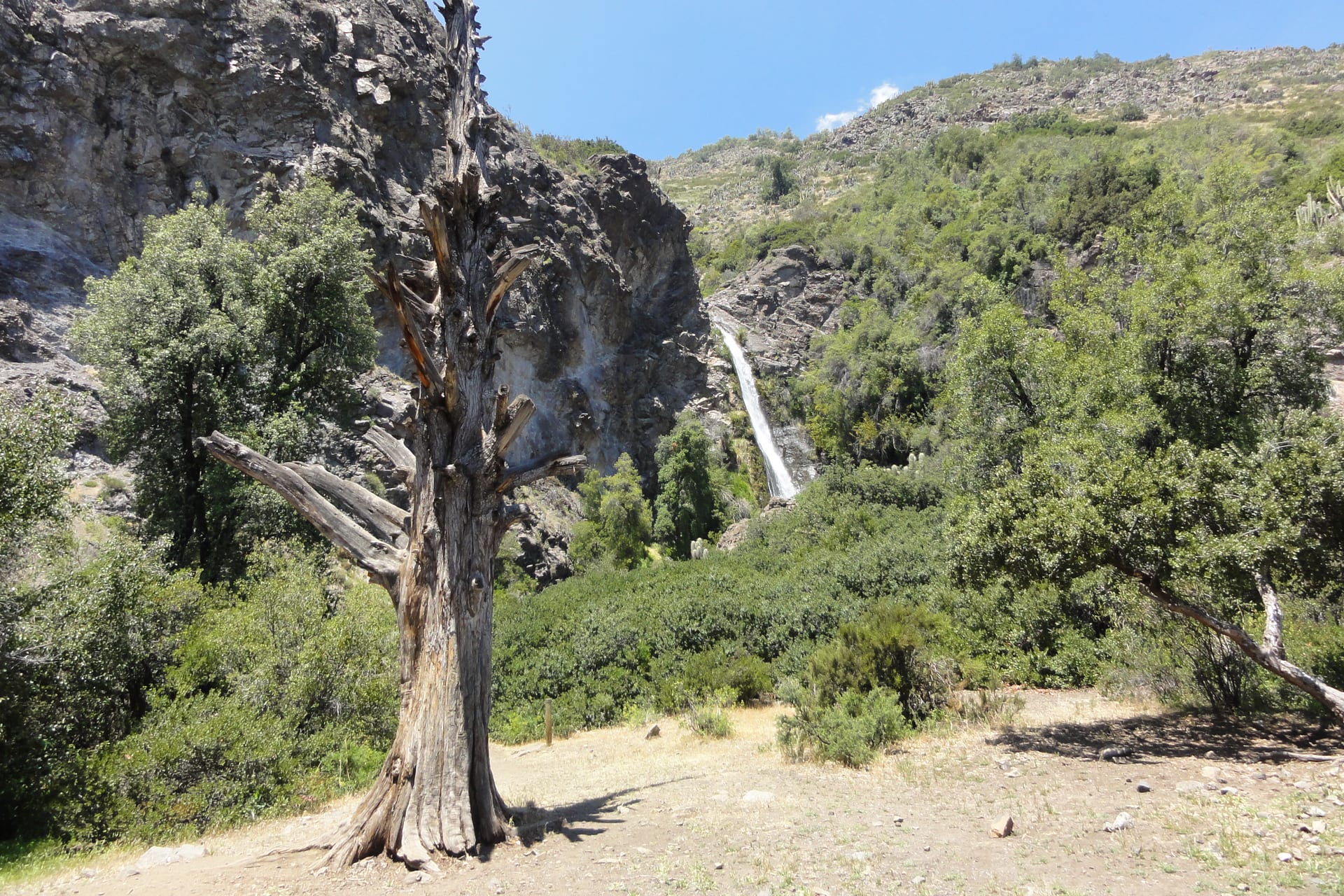
The ravine that starts where the city ends, with a waterfall at the far end.
- Recommended duration A day
- Without a car Easy without a car
- How to get there Local bus
Cajón del Maipo and San José de Maipo
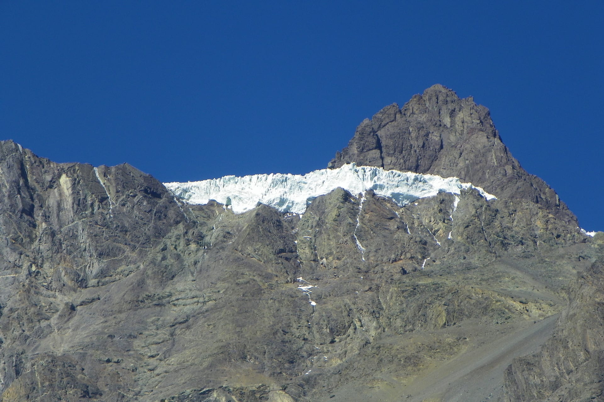
The valley Santiago uses as its mountain backyard: a town with services and, higher up, a long scattered territory.
- Recommended duration A day
- Without a car Possible with connections
- How to get there Local bus
Yerba Loca
A whole glacial valley an hour from the city. The gate of the Andes.
- Recommended duration A day
- Without a car Car or transfer recommended
- How to get there Car