
84 km from Santiago · straight line
Portillo and Laguna del Inca
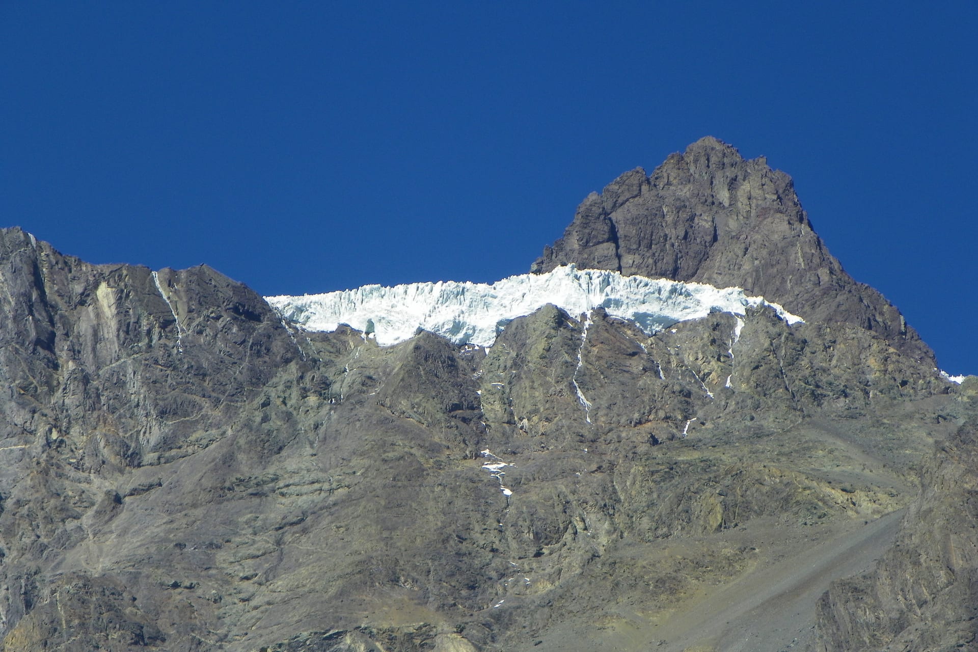
High mountain on the international route to Argentina, with a lagoon wedged between rock walls.
- On the list
- A day
- Car or transfer recommended
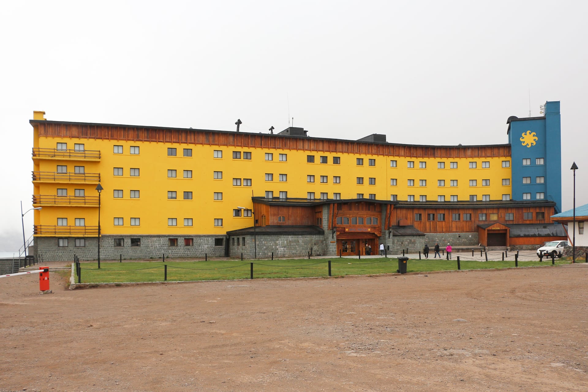
Photograph: Bernard Gagnon · CC BY-SA 4.0
Loading the map
Cartography: OpenStreetMap
How to get there
Recommended option
A suitable car, a transfer or a tour on the international route towards Argentina.
Car or transfer recommended
- Departure point
- Santiago, via Los Andes
- Arrival point
- Portillo and Laguna del Inca, beside the road
- Final leg
- The lagoon viewpoint is very close to the road; access to the shore may be restricted.
- Limitations
- An international mountain route: there may be checks, time restrictions or weather closures, and chains may be required in winter. Access is not guaranteed on any given day.
Alternatives
- A day tour from Santiago
- A shared booked transfer
Schedules, fares and conditions may change. Check the latest information before travelling.
Reviewed: 2026-08-04 · Chile de Finde estimate
Why it's worth the trip
Because it is high mountain reachable on a paved road, and because the contrast between lagoon and rock walls is unlike anything else near Santiago.
Landscape
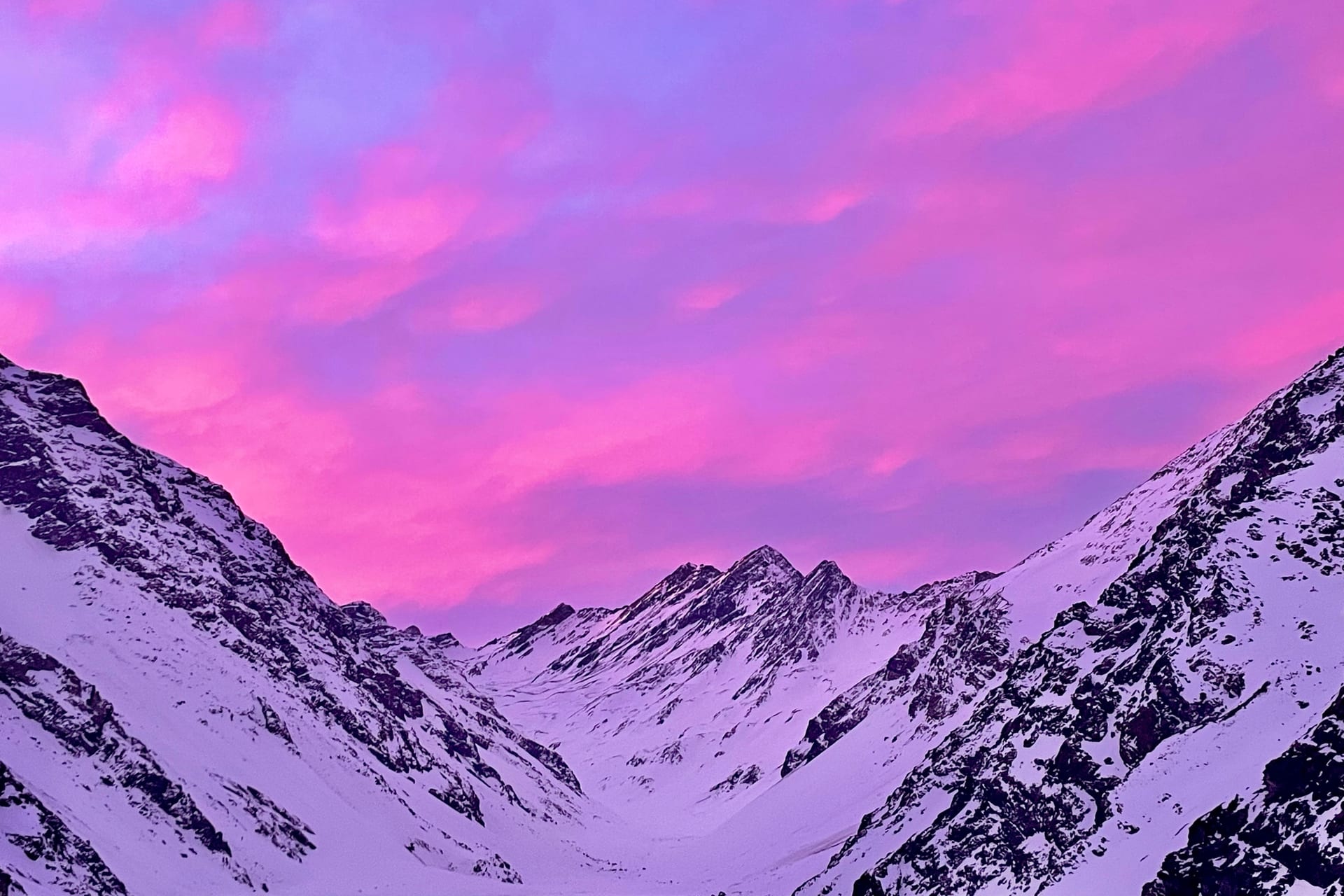
Climbing the route that crosses into Argentina, after a run of hairpins, Laguna del Inca appears: a long sheet of water at over 2,800 metres, with the mountain walls dropping straight to its shore. Beside it sits Portillo, one of the oldest ski centres on the continent, with a yellow hotel you can pick out from far away. You can come without skiing at all: the point is the scale of the landscape, the colour of the water and the afternoon light on the rock.
- Mountain
- Water
What the trip could look like
A long mountain day, leaving early and checking the state of the road before setting off.
An idea of how the day would go.
Who this destination is for
A good fit if
- Mountain photography
- Seeing snow without skiing
- Anyone with a car or a booked transfer
Maybe not if
- An improvised outing: access depends on the day
- Anyone who reacts badly to altitude
Worth knowing
- It is an international mountain route: expect possible checks, time restrictions or weather closures.
- In winter chains or suitable tyres may be required, and the pass can close without warning.
- Access to the lagoon shore may be restricted depending on the sector and the season.
- You gain altitude fast; take it slowly and drink water.
Sources
Other destinations
Yerba Loca
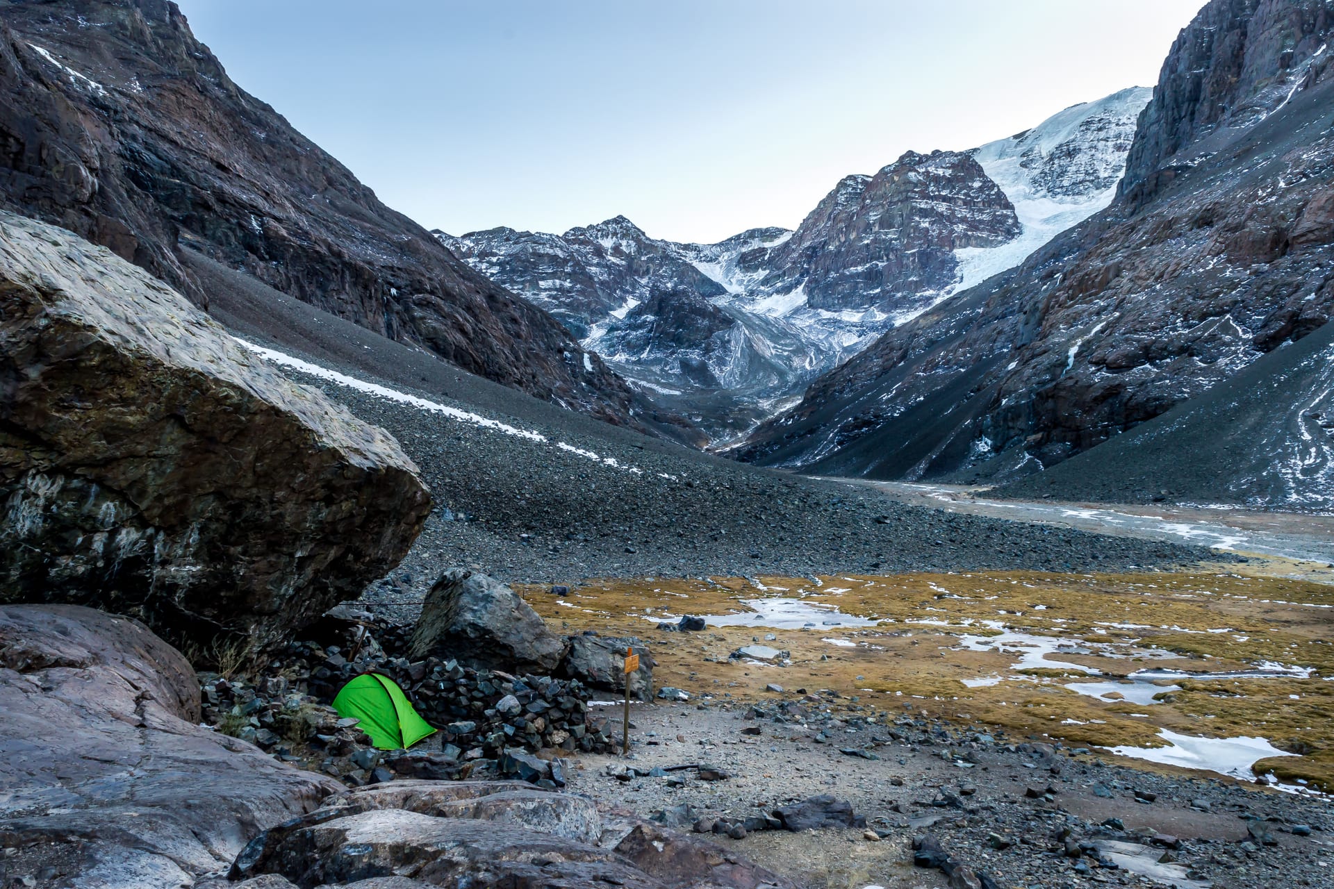
A whole glacial valley an hour from the city. The gate of the Andes.
- Recommended duration A day
- Without a car Car or transfer recommended
- How to get there Car
El Morado
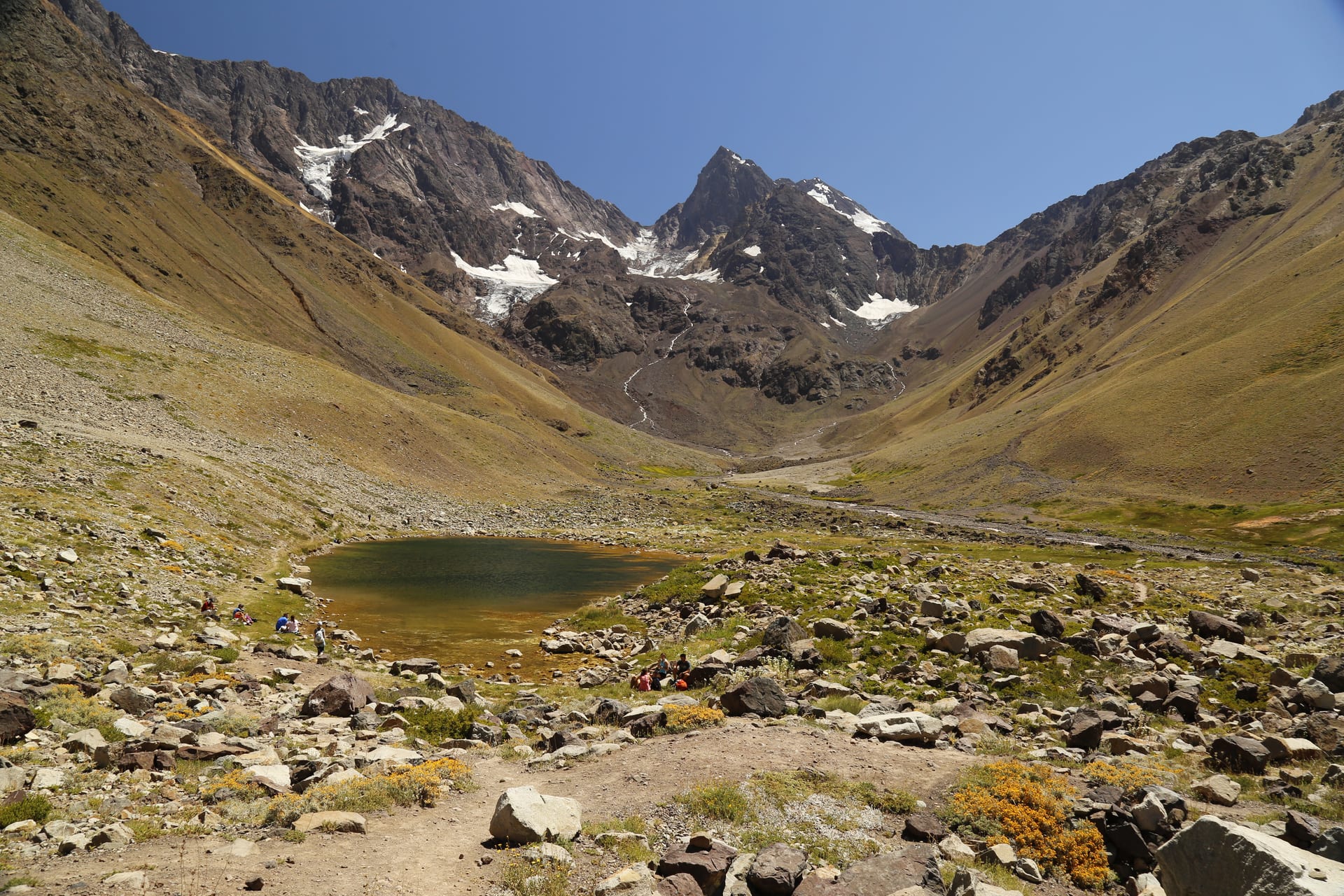
Real high mountain in Cajón del Maipo: a glacier, a lagoon and silence.
- Recommended duration A day
- Without a car Car or transfer recommended
- How to get there Car
Cajón del Maipo and San José de Maipo
The valley Santiago uses as its mountain backyard: a town with services and, higher up, a long scattered territory.
- Recommended duration A day
- Without a car Possible with connections
- How to get there Local bus